This menu advertises Toronto’s Royal York Hotel, the largest in the CP hotel chain and, in fact, the largest in the British Empire at the time. The menu was used in the dining car of CP’s premiere passenger train, the Dominion.
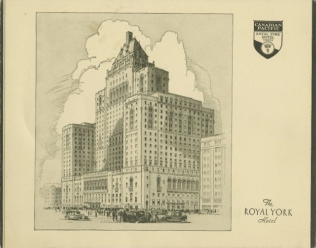
Click image to download a 1.0-MB PDF of this menu.
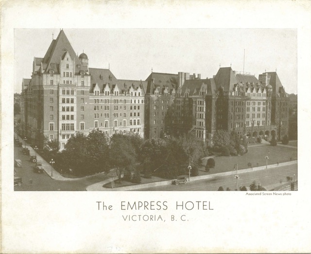
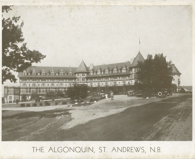
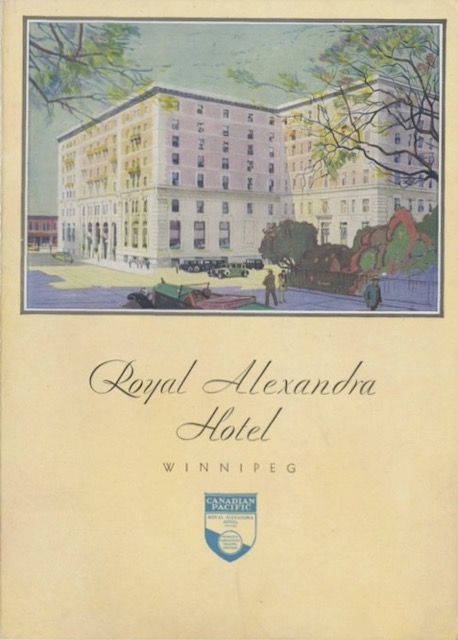
The menu is undated, but we have two clues. First, the back of the menu lists 17 Canadian Pacific hotels. As I discovered for another menu, the only years in which CP owned 17 hotels were 1931 to about 1935. Continue reading