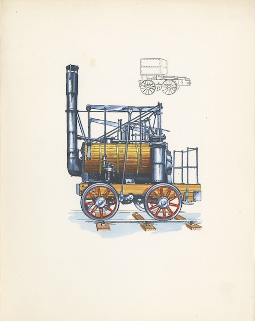
According to Wikipedia, “Puffing Billy is the world’s oldest surviving steam locomotive,” having been built in 1813. The back of this menu notes that, “In the early days of railways, . . . a rate of twenty miles an hour seemed progress indeed.” However, Puffing Billy, which replaced horses for hauling coal, could only go about 5 mph.
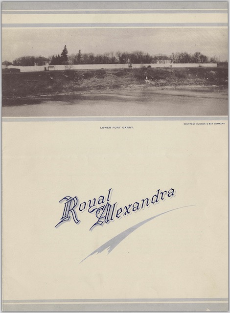
 Click image to download a 563-KB PDF of this menu.
When built, the engine was too heavy for its tracks, which were iron plates rather than rails, so the builder, William Hedley, added two more axles to distribute the weight. When the plates were replaced with rails in around 1830, the extra axles were removed. The locomotive had a remarkably long life, working until 1862. It now resides in the London Science Museum. Continue reading