
Here’s another “birdseye view” from the “World Pictorial Line,” a.k.a. the Union Pacific. The map in the brochure shows UP routes from Omaha to Cheyenne, Kansas City to Denver, and many of the routes in-between. Unlike yesterday’s brochure, nearly all of these routes remain in Union Pacific hands today.
 Click image to download a 21.3-MB PDF of this brochure.
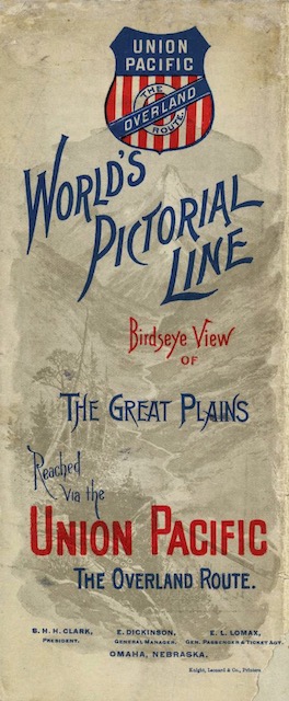
It seems strange to me that these brochures would be headed “World Pictorial Line” without actually including any pictures other than the map and a faint view of a ghostly, generic mountain (which certainly did not exist on the Great Plains) on the cover. Considering that Northern Pacific at about the same time was publishing brochures that were full of black-and-white photographs and colorful illustrations, Union Pacific’s choice to use a 15,000-word essay instead seems questionable.
Like yesterday’s brochure, this is from the David Rumsey map collection. For some reason, the highest resolution version offered for this brochure is only half the resolution of yesterday’s: about 150 pixels per inch instead of 300. Fortunately, the map is just as legible and the text is almost as legible as at the higher resolution.