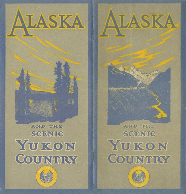
This beautiful booklet has heavy-duty covers that are 4.4-inches wide holding 10 pages that are 4-inches wide. But the next 10 pages unfold to be slightly more than 8-inches wide, thus allowing for panoramic photos that wouldn’t fit on a 4-inch-wide page.
 Click image to download a 7.6-MB PDF of this 24-page booklet. Click here to download a 1.9-MB PDF of the front-and-back cover spread.
The photos are all black-and-white or, to be precise, black-and-yellow as they all have a greenish-yellow tint. The tinting adds little to the images but fortunately most of the 40 photos in the booklet are still clear and crisp.
The booklet is undated, but it quotes a traveler “who visited Atlin last year (1914),” so it must have been published in 1915. The railroad was then still new as it had started service between Skagway and Whitehorse in 1900. The White Pass Route also included steamboats that went on to Dawson City as well as on Atlin Lake, all of which are covered in the booklet.
The booklet advises that the city the railroad started in was “most frequently spelled ‘Skagway'” and then proceeded to spell it “Skaguay” nearly three dozen times. The name Skagway comes from a Tlingit word, Skaqua or Shgagwéi, which the booklet says means “home of the north wind” but other sources say means “windy place with white caps on the water.” I suspect White Pass PR people picked “north wind” because it sounded friendlier than “white caps.”
