This birdseye map show the “Pacific Slope,” which mostly means California with bits of Nevada off in the distance. Having been made in the early 1890s, almost all of the rail lines shown on the map are Southern Pacific, and the few exceptions are Santa Fe. Not one mile of Union Pacific track is shown, but railroads often advertised destinations they didn’t actually serve if getting to those destinations meant using their lines for part of the route.
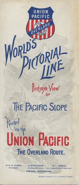 Click image to download a 25.7-MB PDF of this brochure.
The Southern Pacific’s Coast Line was not yet complete, with a large gap between Santa Margarita and Santa Barbara that wouldn’t be closed until 1900. There’s no hint of the Los Angeles and Salt Lake Railroad, whose construction began in 1901. Passengers going to southern California had to take the Union Pacific to Ogden (not shown), the Central Pacific (by 1890 leased to the Southern Pacific) to Sacramento, and then the Southern Pacific down the Central Valley to Los Angeles and from there the California Southern (part of the Santa Fe) if they wanted to go to San Diego.
While there is no specific date on this brochure, the David Rumsey Collection, which posted the jp2 scans that I used to make the brochure, dated it to 1893. The brochure says Fresno’s population was “nearly or quite 10,000,” Santa Barbara’s was “about 10,000,” and Los Angeles’ “claims at the present time 60,000.” The 1890 census counted 10,818 people in Fresno, 5,864 in Santa Barbara, and 50,395 in Los Angeles. Though this appears conflicting, I’d say this brochure was issued between 1891 (when 1890 census data would have been published) and 1893 (when Union Pacific went bankrupt).