Like yesterday’s timetable, the cover shown below is the back cover. The front cover is an ad for “new booklets and folders” describing “vacation variety” in the “Union Pacific West.” Many of these booklets can be found elsewhere on Streamliner Memories.
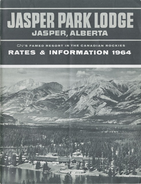
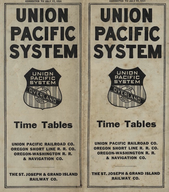 Click image to download a 34.8-MB PDF of this timetable.
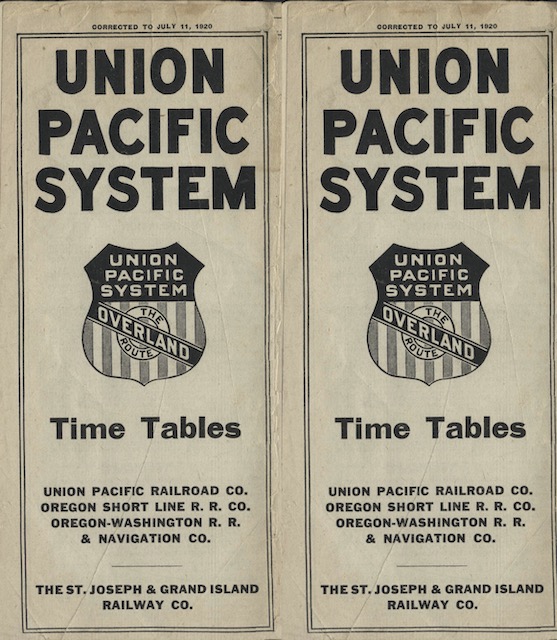
First listed was Colorado’s Mountain Playgrounds, of which I have a 1923 edition. Next was Rocky Mountain – Estes Park, which I don’t seem to have. Next was Yellowstone National Park, of which I have a 1920 edition. Next was Utah-Idaho Outings; I have one from 1938 but it is quite different from the one shown in this ad. Then was California Calls You; mine is from 1915 but it has the same cover shown in the ad. The last picture in the ad is for what appears to be a brochure for The Pacific Northwest and Alaska; I have a 1945 booklet of that title, but it is very different. Last to be mentioned, but not pictured, in the ad is Along the Union Pacific System; I have several of that title but the earliest is from 1932. Continue reading
