Boulder Dam, “the newest of the wonders of the West served by Union Pacific’s famous trancontinental [sic] trains,” would not be completed until 1936, but it was complete enough in mid-1935 that Union Pacific could put a photograph of people boating behind the dam on the front cover of this timetable (which was contributed by Tim Zukas). The reservoir wasn’t yet full when the photo was taken.
 Click image to download a 48.6-MB PDF of this timetable.
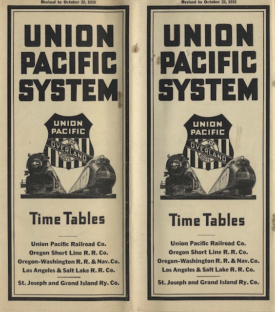
While this timetable calls the Portland streamliner the City of Portland, it calls the Salina train the “the Kansas streamliner.” It wouldn’t gain a more definitive name until March 13, 1936, when UP’s president decreed that it should be called the Streamliner City of Salina, and this name was promptly painted on the side in the same typeface as used on the City of Portland. Continue reading