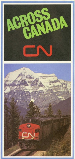
Except for the cover panel, this map is almost exactly the same as the 1967 edition. Photos of Winnipeg and Edmonton street scenes in the panels on Manitoba and Alberta have been replaced, probably because they weren’t very attractive or possibly to removed dated automobiles and trolley buses.
 Click image to download an 13.1-MB PDF of this brochure.
The replacement photos–a wheat field in Manitoba and an aerial view of downtown Edmonton (showing no cars) are a little more attractive than dirty, downtown streets. Winnipeg continued to run trolley buses through 1970 and Edmonton through 2009, so it seems likely that it was the scenery rather than the dated vehicles that prompted the change in photos.
