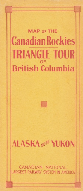
This brochure unfolds to present not one but two very large maps. On one side is a relief map of southern British Columbia and Alberta showing the “Triangle Tour”: CN train from Jasper to Prince Rupert, CN steamship from Prince Rupert to Vancouver, and CN train from Vancouver back to Jasper. On the other side is a map of British Columbia and southeast Alaska showing some of the same routes but also the steamship route to Skagway and White Pass & Yukon Route to Dawson.
 Click image to download an 10.4-MB PDF of this brochure.
These maps are from the David Rumsey collection; I brightened them up a bit and turned them into a single PDF. Rumsey says one map is 43cmx76cm (17″x30″) and the other is 42cmx75cm. Both can’t be true but I laid them out to be about 17″x30″.
The map came in a cover that was apparently glued on. I “detached” it and am presenting it as separate pages. I think the right panel on the inside (which would have been partly obscured by the glue) listed Canadian National agents in Australia and Europe. The Rumsey people didn’t attempt to scan it so I left it blank.
This was a pretty ambitious brochure as few people would have been able to afford the time or money to travel on both the Triangle Tour and to Alaska on the same trip (or in the same year). In other years, CN brochures just presented one map (such as this 1924 Triangle Tour map) or the other (such as this 1937 Alaska cruise map). This left room on the brochures to entice potential travelers with photos of scenery and things to do along each route and would have allowed better targeting of potential customers.