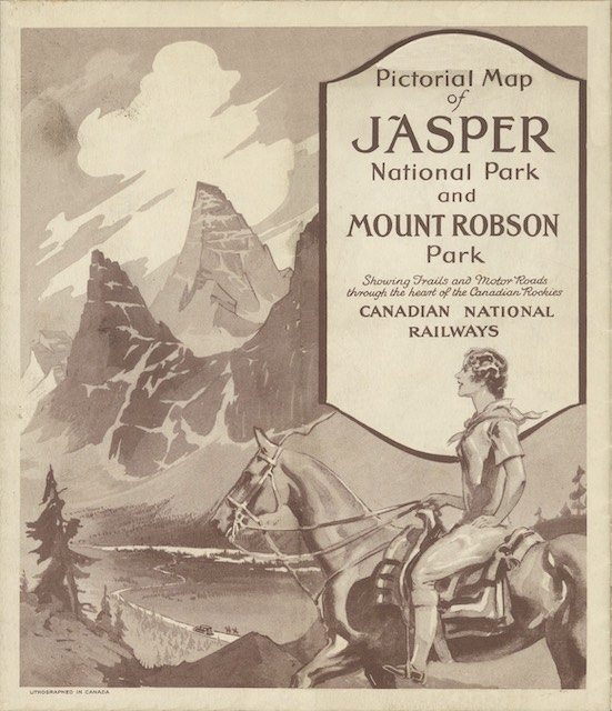
This map presents Jasper National Park in heavy relief, or what the Great Northern called an “aeroplane view.” Frankly, all of the mountain peaks look alike, making the map hard to read.
 Click image to download an 7.1-MB PDF of this brochure.
The front of the map (from which the above cover is excerpted) is printed in sepia tone, but less than half the panels have any printing on them. As I’ve suggested before, this represents a huge missed opportunity to advertise CN trains, hotels, and/or Jasper Park services.
The map itself is quite colorful and the map side includes a large picture of Mount Edith Cavell. This is only the twelfth-tallest mountain in the park but is the one that is most prominently visible from CN trains.
This map is from the David Rumsey collection. I brightened up the map, repaired some minor damage to the other side, and turned it all into a PDF, which is smaller and more easily downloaded than the JPG files on the Rumsey site.
Rumsey claims the map is 46cmx70cm, which would be 18″x27-1/2″. However, it doesn’t fit into those proportions. I made it 18″x30-3/4″.