
Ontario, this booklet points out, is more than 400,000 square miles, which is more than 50 percent larger than Texas. The province, the booklet adds, has an urban south and a wild, lake-filled north. Most of the booklet is about the south but there are a couple of pages about hunting and fishing in the north.
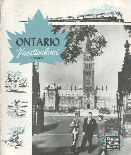 Click image to download a 17.6-MB PDF of this 20-page booklet.
The booklet is undated, but it does mention 1955 in the past tense so it was probably issued soon after that year. As such, it is surprising that it doesn’t have a color photograph on the cover, as found on the 1957 maritimes booklet presented here a couple of days ago.
What it does have is two huge fold-out pages in the back. One of the pages has listings, in tiny print, of hundreds of hotels and other tourist accommodations in Ontario. The other has maps of various parks, reserves, and lake districts in Ontario. I said above that this booklet is undated, but one of the maps has a date: November 12, 1923, which isn’t helpful for dating the booklet but is testimony to the slow rates of change in some of the remote parts of northern Ontario.