This map divides the 48 states into 27 different regions and provides information about what the freight rates would be from one region to another. I’m not personally interested enough in freight trains to figure it out, but it is curious that the entire state of Montana is one region while a tiny area of the northeast corner of New Mexico is a region all its own.
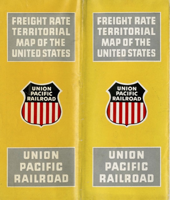 Click image to download a 17.4-MB PDF of this brochure.
The other side of the page is filled with photos of Union Pacific freight cars and locomotives along with ads for UP freight services. The locomotives include General Motors F3s, General Electric gas-turbine-electric number 50, and a General Motors NW2 switch engine. One panel also breathlessly describes centralized traffic control, or “push-button railroading,” and includes a map showing where it had been installed by the beginning of 1952: two short segments between Ogden and Portland and most of the distance from Salt Lake to Los Angeles.