
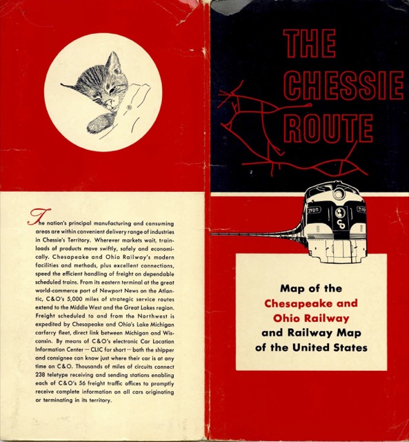
Like the Louisville & Nashville map posted here a month ago, this one has a map of the United States on one side and a close-up view of the states served by the relevant railroad on the other side. The map is glued to the cover shown below, but fortunately when it is unfolded the cover doesn’t obscure anything important.
 Click image to download a 9.1-MB PDF of this map.
The map is dated February, 1960, or about three years before the C&O started taking control of the Baltimore & Ohio. But it had already taken over the Pere Marquette, which explains why a railroad known primarily as a coal hauler also had lines in Michigan and from Detroit to Buffalo through Ontario.