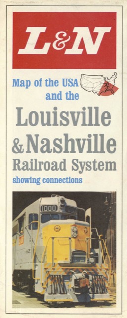
Unlike some railroad maps, which have a map on one side and advertising on the other, this one has maps on both sides: the United States on the back and a close-up of the South on the front, leaving just two panels available for advertising. Both maps, of course, highlight Louisville & Nashville routes in red.
 Click image to download a 12.6-MB PDF of this map.
This isn’t really passenger train memorabilia as the advertising panels include one photo of a freight locomotive (above) and three photos of freight cars. The lower-right corner of the USA map is dated 8-64.
