
This booklet advertises Canadian Pacific territory from Winnipeg to Halifax. It has one page for the Manitoba lakes area, three-and-one-half pages for Ontario, two-and-one-half for Quebec, and one each for New Brunswick, Nova Scotia, and the “island provinces,” Prince Edward Island and Newfoundland, even though CP didn’t actually serve either one by rail or ship.
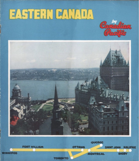 Click image to download a 10.6-mb PDF of this 16-page booklet.
A center-fold map covers Ontario eastward and includes routes of Canadian Pacific steamships to Europe. All in all, the booklet does a pretty good job of showing that eastern Canada can be as scenic as the western part of the country.