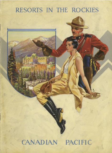
The 1931 edition of yesterday’s 1929 booklet has been reduced from 12″x9″ to 8″x10″. It still contains nine color paintings, but none by Carl Rungius, who did three of the paintings in the 1929 edition. Instead, there are two each by Belmore Browne (1889-1965) and A.C. Leighton (1901-1965, both of whom had one painting in the 1929 edition) and one each by Richard M. Kimball (1865-1942, who was also in yesterday’s), Richard Jack (1866-1942), Roland Gissing (1895-1967), and Donald Maxwell (1877-1936, none of whom were in yesterday’s).
 Click image to download a 29.5-MB PDF of this 28-page booklet.
The text doesn’t say anything about the cover painting, which is signed only “Odell.” This may be the same G.K. Odell who did this World War II poster (which Canada published in both English and French versions). Curiously, the inside front cover of this booklet says “cover lithographed in Canada” while the interior pages say “printed in U.S.A.” It seems strange to divide up the work that way.
Unlike yesterday’s edition, this one has a large, fold-out map that shows the route of the Canadian Pacific, along with hotels and bungalow camps, from Kananaskis, Alberta to Redgrave, British Columbia. Ending the map at Redgrave means that it misses the Selkirk Mountains, including Canada’s Glacier National Park (established in 1886, 24 years before the American one of that name) and Rogers Pass. Since the five-mile Connaught Tunnel went under Rogers Pass, CP may have felt little need to include it on the map.

Drat! The link is broken!
Fixed. Sorry.