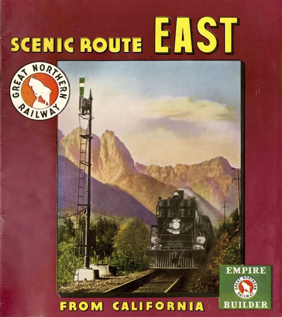
We’ve seen this booklet before, only in reverse. Scenic Route West started in Chicago and ended up in California; today’s booklet starts in the Pacific Northwest and ends up on the East Coast. Note the difference in color on the covers: West was a deep forest green, while East was a bright urban maroon.
 Click image to download a 15.3-MB PDF of this booklet.
The West version is 24 pages, but today’s East edition is only 20 pages. Missing from the East version are pages on the Cascade Tunnel, Mt. Baker/Mt. Rainier, Northwest timber and salmon fishing, and Vancouver/Victoria, and California, while the West version lacks pages on cities east of Chicago.
The West edition was dated “4-41.” The East one doesn’t have a date, but it shows photos of incomplete Bonneville, Fort Peck, and Grand Coulee dams, all of which look complete in the West version. Bonneville wasn’t complete until 1937, so I’m guessing this booklet is from 1936 or 1937.
