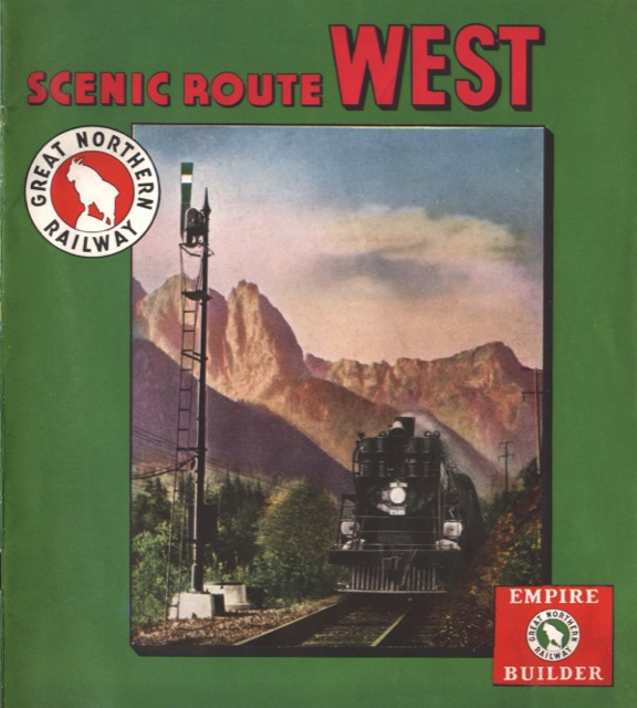
Dated 1940 (but first issued, with a different color cover, at least a couple of years earlier), this brochure is an update of The Scenic Northwest. Alas, in the intervening decade, the Great Northern either forgot about its historical expeditions or decided they wouldn’t attract tourists, as the 1940 brochure does not picture a single monument erected in 1925 and 1926, nor does it include routes of the early explorers on the centerfold map or mention anything about the region’s history.

Click image to download a 14.1-MB PDF of this brochure.
The brochure does devote one page to dude ranches, another to Glacier Park, and beautiful scenery in Idaho, Oregon, and Washington. But it also has individual pages picturing North Dakota farming, Montana mining, and logging in Washington state, perhaps to show there were plenty of jobs in the Northwest. Also pictured are four different dams–Fort Peck in Montana, Grand Coulee and Long Lake in Washington, and Bonneville between Oregon and Washington. Dams, of course, were considered a symbol of a country’s might and a source of seemingly unlimited, cheap electrical power. Coming between the Depression and the war, which was already being fought in Europe, these sights were probably considered reassuring.
