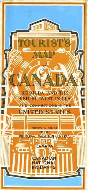
Though the cover claims this is a map of Canada, it doesn’t include any of the northern territories or even the northern parts of Canada’s major provinces. It does show all of the 48 states and (in an inset) most of Alaska. Canadian National rail routes are emphasized by thick red lines, CN steamship routes by thick red dashes, and other railroads and steamship routes are in thinner black lines and dashes.
 Click image to download a 7.1-MB PDF of this brochure.
The non-map side has panels on Canada’s Atlantic provinces, Quebec, Ontario, Jasper, Canada’s Pacific Coast, and Alaska. A seventh panel titled “An Open Door to Canada” makes it clear that this map is aimed at potential tourists from the United States, as it talks about Canada providing “the fascination of travel in a foreign land.”
That panel ends with a flowery metaphor about doors. “Canada’s world of outdoor sport is not to be covered adequately in a page or a volume,” it says. “Here is but a glimpse, like a scene viewed through a door that swings a moment wide. You see for an instant a chain of purple mountains, and a curling river flecked by foaming rapids. Through that door is wafted to your nostrils the fragrance of balsam, a breath of air asparkle with life, the smoke of a camp fire among the trees. The door shuts, for the page is ended. It is for you, dear reader, to push it open with your own hand and to enter for yourself the wonderful land that is awaiting you in the out-of-doors across that imaginary boundary line to Canada.”
Although issued during the Depression, the map shows that Canadian National was building a line in northern Saskatchewan from an existing rail line in Star City south through Wakaw to Aberdeen on another existing line. The map in CN’s 1943 timetable shows that this line was completed, and it still appears on a 1963 timetable map, but judging from Google satellite photos, I don’t believe it exists today.
