What a difference a single year can make when a railroad is being managed by someone as dynamic as James J. Hill! I previously noted a railroad whose timetable was unchanged in the eight years between 1878 and 1886. By comparison, the St. Paul, Minneapolis & Manitoba’s timetable drastically changed in just one year between 1886 and 1887.
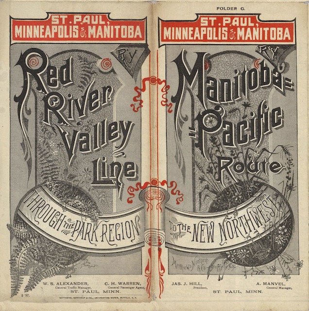 Click image to download a 12.4-MB PDF of this brochure, which is from the David Rumsey map collection.
Comparing the maps reveals that Hill had built or extended rails in many places. I previously noted that the 1886 map showed six parallel north-south lines serving farmers in the Red River Valley; the 1887 map shows a seventh line under construction. He also opened new lines to Hutchinson and Brownsville, Minnesota, Aberdeen, South Dakota, and towards the Canadian border in the Dakota territory.
Most important, he opened a 121-mile extension from Devils Lake to Minot, which was the next important step for Hill’s future Pacific Coast extension. This westerly expansion dictated a change in the brochure’s format: where the 1886 brochure was three panels high to fit the north-south orientation of the Manitoba Road at the time, the 1887 one was only two panels high, revealing the railway’s new east-west emphasis. In just two years, Hill would be renaming it the Great Northern to underscore his intention to build a railway along the northern tier of western states rather than north to Winnipeg.
These and more changes are reflected in the timetables. The timetable for the Devils Lake Extension still went to Devils Lake but continued onto Minot. New timetables were added for Aberdeen and other extensions. Not only timetables reflect new routes, but many of the existing trains were speeded up, with later departure times from St. Paul later and earlier arrival times at terminuses.
Although the 1887 brochure is only two panels high, it is no wider than before. The railway discarded an eight-panel essay proclaiming the wonders of life in the Red River Valley. While the valley would still be an important source of income for the Manitoba/Great Northern, Hill’s next objective would be to open up agricultural lands and access mines in Montana.
That still left several panels for advertising the sale of lands that Hill acquired when he bought the St. Paul & Pacific, which he turned into the Manitoba Road, as well as homesteads. Where other railroads sold their land grants for more than the amounts specified by Congress in the grants, Hill’s goal was to get the land in the hands of actual settlers who would grow crops that would be shipped by his rail lines. Thus, he could honestly advertise “2,500,000 acres [of] ‘cheap land'” in Minnesota as well as free homesteads in Dakota to anyone willing to live on the land for five years.
The summer of 1887 saw Hill’s most audacious move of all: the construction of a line from Minot to Great Falls, Montana. He could have built from both ends, but the Northern Pacific had quoted too high a price for shipping rails and other building materials to the west end. So, with meticulous advance planning, he oversaw construction of more than 500 miles of track, the most that has ever been laid from one end of track in one building season before or since. As he himself admitted, many called this “Hill’s folly,” but the next year he was able to access Helena and Butte, thus breaking the Northern Pacific and Union Pacific monopolies to southern Montana mines.