
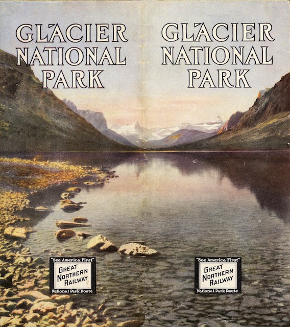
The Great Northern published many “aeroplane maps” of Glacier National Park over the years, and David Rumsey has several in his collection. The one I’ve presented here before is undated but is from sometime after 1927 (when the Prince of Wales Hotel opened) and before 1936 (when the “red jammers” began taking tourists through the park).
 Click image to download a 19.5-MB PDF of this brochure, which is from the David Rumsey Map Collection.
This one is from 1914. Unlike the circa 1930 map, which is looking down at the park from an almost vertical viewpoint, the map in this brochure is more oblique, as if someone is hovering above Kalispell and looking north. The map pretty much ends at the Canadian border, possibly because Canada’s Waterton Lake Park only reached its present size in 1914, probably after this brochure had gone to press.
Although the oblique map looks more realistic, the circa 1930 map is easier to read due to its vertical view. But it is also more cluttered, probably due to all of the roads, trails, and hotels the Great Northern and the Park Service had built in the meantime. Unfortunately, neither map is signed, so we don’t know anything about the artists.