
At first glance this looks like an ordinary 8″x9″ railroad advertising booklet, printed on individual sheets that are 16″ wide. It turns out, however, that each page unfolds to be 16″ wide, so the sheets they are printed on are 32″ wide. Although it is 8 pages long, it has the same amount of space as a regular 16-page booklet. The way it is folded also ends up with the “front” cover on the back.
 Click image to download a 15.3-MB PDF of this 8-page booklet.
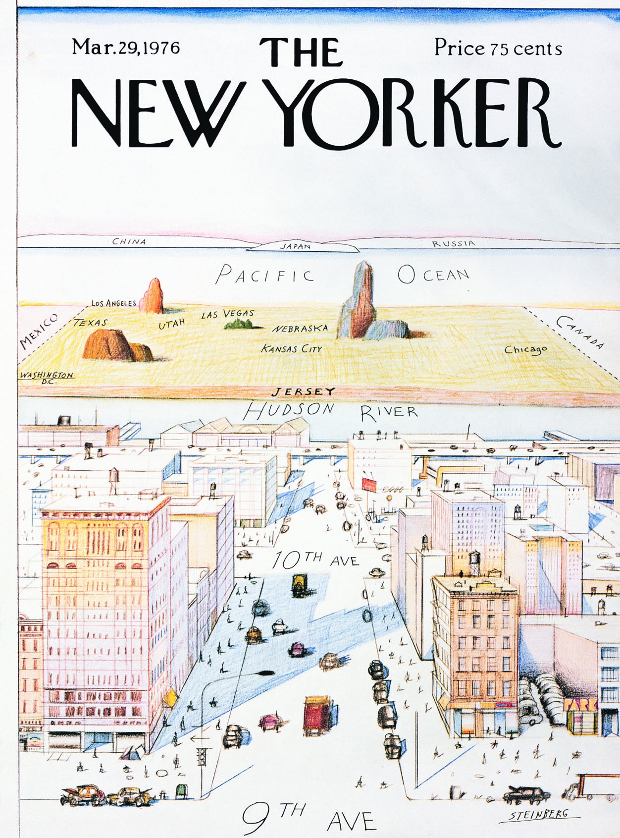
The L&N must have chosen this unusual format so it could include a wide centerfold map that extends from New Orleans on the far left to Chattahoochee, Florida (where the L&N met the Seaboard Railroad) on the far right. This map looks a little like the famous Saul Steinberg New Yorker cover showing how New York City residents view the United States. In this case, everything not close to the Gulf is foreshortened into insignificance.
Despite all of the space available in this format, only 1-1/4 of the 8 pages describe New Orleans. Two, of course, are used for the centerfold map and 2-1/2 more describe the Gulf Coast. There’s also half a page on how and why to take the L&N to the coast. The rest is the cover and introductory material.