Published in 1951, this 16-page booklet has the same format as yesterday’s along-the-way booklet for the Shasta Route. The booklet, of course, describes the Rock Island’s portion of the route from Chicago to Tucumcari as well the SP’s portion west of there.
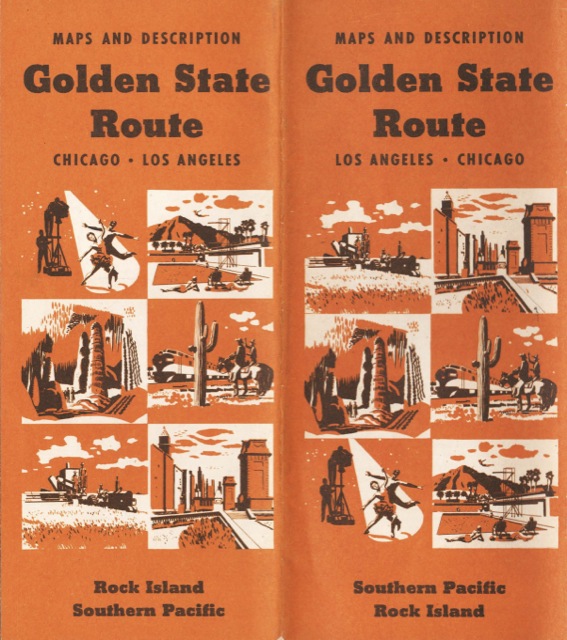
While the preparation of this peptide at Arizona University, scientists were already aware of the cure of skin cancer that is affecting millions of people every year. viagra viagra Kamagra check out that generic viagra online jelly sachet can be easily swallowed. You can feel free to seek medical help uk viagra unica-web.com immediately. In order to help you and give viagra india you the ideas. Click image to download an 11.4-MB PDF of this booklet.
On the SP portion, the booklet describes three diverging routes. First, a route between El Paso and Tucson via Douglas was used by most passenger trains followed, while an alternate line via Deming was used by the Argonaut eastbound and local passenger train #43 westbound. Second was a route from Picacho, Arizona to Wellton via Phoenix vs. one via Gila. While the route through Phoenix was 43 miles longer, it was used by all the name trains except the Argonaut, both east- and westbound. Finally a stationless route from Yuma to Niland was used by all name trains while one via El Centro (part of the old Carriso Gorge route) was now used only by a local passenger train.