The front of this map has a panel on the history of the Union Pacific, one on the comforts of its trains, and 4-1/2 panels of photos rendered in sepia tones. The map side is a conventional map of the United States rather than the more attractive but less detailed Willmarth maps used on the Western Wonderlands brochures.
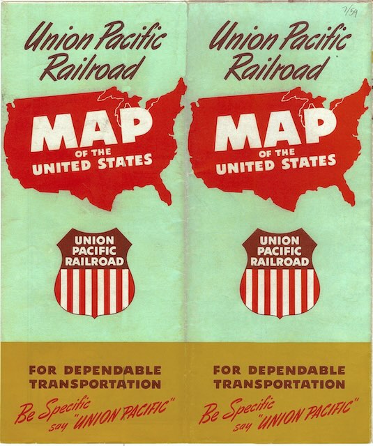 Click image to download a 23.4-MB PDF of this brochure.
The scans for this map are from Don Strack’s Utah rails web site (and its affiliated photo site). He generously gave me permission to convert the JPG files into a PDF and post it here. Strack’s JPGs totaled to more than 100 megabytes in size; my PDF is 23 megabytes, which still seems large but is a big savings.