This westbound edition of Canadian Pacific’s along-the-way booklet has some changes from the one presented yesterday. Page 3 has “an artist’s sketch” of CP’s latest hotel, Montreal’s Chateau Champlain, which opened in 1967. This illustration is the same one shown on the cover of a 1966 dining car menu. Text near the hotel illustration notes that “Expo ’67 focussed the eyes of the world on Montreal.”
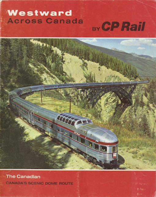 Click image to download a 18.6-MB PDF of this 32-page booklet.
The past tense indicates this booklet was published after the exposition, which would mean 1968 or later. A better clue about the date is on page 9, which says that Port Arthur and Fort William would amalgamate on January 1, 1970. The decision to merge on that day was made in the May, 1969 City of Lakehead Act. In late June, a referendum was held to decide whether the new city should be called Lakehead or Thunder Bay. The latter name was selected, which isn’t mentioned in this booklet, indicating that the booklet was published in May or June 1969.
The centerfold has a completely new world map that looks like it was made for the electronic age. While the map in previous editions shows geographic relief as if it were based on a satellite view, this map shows land masses as completely flat and continental outlines as a series of straight lines. The map shows Canadian Pacific railway, airline, and steamship routes, though most of the steamship routes are for cargo only.
The back cover has a full-page ad for the Canadian that looks like it was made for a magazine such as Holiday or National Geographic. Like many such ads, it shows photos of people sitting in front of windows through which can be seen views of lakes and rivers that actually would never be visible from the train. Otherwise, the booklet has the same photographs, the same paintings by Hedley Rainnie, and much of the same text as previous editions.