The great era of railroad construction was almost over when this map was published. The map shows the Burlington Route as being almost completely built out. The main additional construction was a line from Kirby (near Cody) through Wind River Canyon to Orin Junction, Wyoming, where it would meet the Colorado & Southern Railway, which the Burlington would buy in 1908.
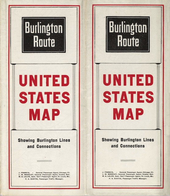 Click image to download an 16.2-MB PDF of this brochure, which is from the David Rumsey map collection.
Other lines shown as planned or under construction are the Spokane, Portland & Seattle North Bank line from Pasco to Portland (the segment from Pasco to Spokane isn’t indicated); the Camas Prairie Railroad from Pasco, Washington into Idaho; and the Great Northern’s line from Great Falls to Laurel, Montana, where it would meet the Burlington’s lines from Denver and Kansas City.
The map also shows a planned extension of the Denver, Northwestern & Pacific (later known as the Denver & Salt Lake) from Toponas, Colorado to Salt Lake City. Only about 60 miles of this line, to Craig, Colorado, ever got built. Instead, with the encouragement of the Burlington, the Rio Grande would connect the Denver & Salt Lake to its own line by building the Dotsero Cutoff, which quadrupled Burlington’s freight business through Denver.
The front of the brochure has six two-panel “pages” covering special topics: “facts about the Burlington”; Pacific Coast tours; tourist sleeping cars; the fast mail; dining car services; and Great Northern steamships to Japan and China. Five more panels are devoted to a station index, which seems superfluous when there aren’t any timetables; each station includes the population and altitude of the city and an indication of where it may be found on the map.