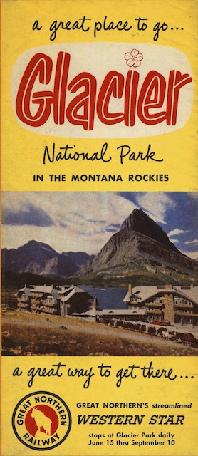
Whereas pre-war brochures assumed that the only easy way to get to Glacier Park was by train, GN devoted a fifth of the front of this brochure to promoting the Western Star, which was having to compete with auto travel in 1952, when the brochure was published. The map on the back shows the Star approaching the park from the west.
 Click image to download an 17.3-MB PDF of this brochure, which is from the David Rumsey Map Collection.
The map is signed “Wessel.” The only American artists I can find by that name who were alive to do this illustration are Herman Wessel and Bessie Hoover, who became a Wessel when she married Herman. Both lived in the wrong part of the country — Cincinnati — and neither were known for this style of illustration. So the map was probably done by someone else.
Like the 1939 map presented here a couple of days ago, this one shows the international boundary following ridge lines rather than sticking to the 49th parallel. Although yesterday I suggested this was a way for hikers to think they could avoid going through customs, in fact I don’t see any trails that cross the boundary as shown on Park Service maps that don’t cross it as shown on Great Northern maps. It’s possible that the artists are really showing the boundary as a straight line but the elevation changes make it appear to drift north and south.