Like the Shasta Route wayside notes presented here yesterday and the day before, these two booklets were issued just a couple of years apart in 1922 and 1924. Unlike the Shasta booklets, these two are nearly identical, other than the dates: same photos, same text, same covers (the covers shown below being the back covers). The main changes are that the type faces are slightly different and the map on page 15 of the 1924 edition is a little smaller to make room for a longer list of Southern Pacific ticket agents.
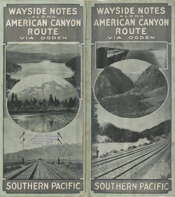 Click image to download a 7.7-MB PDF of this 16-page booklet.
The Central Pacific (later Southern Pacific) followed the American River for about 80 miles from its source, near Emigrant Gap in the Sierra Nevada, to Sacramento. Much of the route was in the bottom of a steep, narrow canyon, which made it some of the most interesting scenery between Ogden and San Francisco.
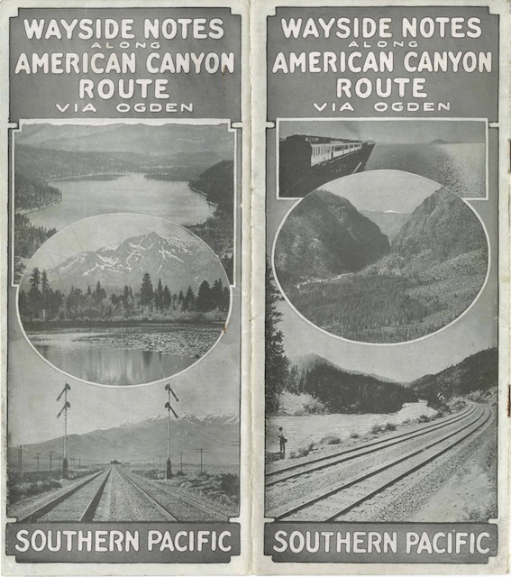 Click image to download a 7.1-MB PDF of this 16-page booklet.
These booklets probably used the term American Canyon route rather than the later Overland Route to make it clear that they covered only the portion of the route west of Ogden. But it was a little bit deceptive, as the entire Ogden-San Francisco route was 782 miles, of which more than 700 weren’t in the American Canyon.