
Pyramid Mountain is 9,075 feet high, which makes its summit about 5,600 feet above the town of Jasper, just six miles southeast of the peak. As such, it appears in many photos of the town and the nearby area, including the one on this 1946 dinner menu.
 Click image to download a 281-KB PDF of this menu.
The lake in the foreground is called Pyramid Lake (though it is shaped more like the letter C than a pyramid) and is about halfway between the town and the mountain. From the lake a dirt road climbs to nearly 6,000 feet, allowing hikers to scramble up to the mountain top.
 Click image to download a 334-KB PDF of this postcard.
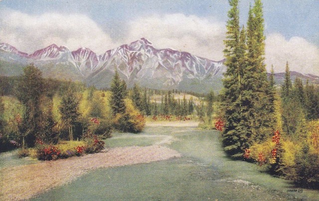
Here’s a Canadian National postcard with a hand-colored view of the mountain with the Athabasca River in the foreground. The card is undated but I would guess it is from 1940 or before.
 Click image to download a 1.1-MB PDF of this menu.
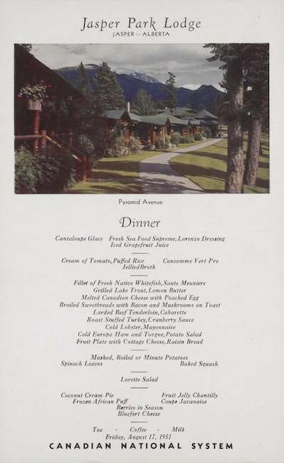
Pyramid Mountain doesn’t appear in the photo on this 1951 dinner menu, which shows one of the rows of cabins at CN’s Jasper Lodge. This row happens to be on what was called Pyramid Avenue, but current maps call it Pyramid Road. Pyramid is one of three roads that does a half-circle around a bay of Lac Beuvert. Judging from the map, I’d say this photo was taken from near the southwest corner of the resort.