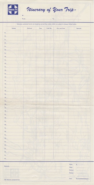
Our Detroit knight collected one more item on his trip back from the 1949 mason’s convention: a combination itinerary-map from the Santa Fe. The itinerary has room for a nineteen-leg trip, with spaces for the railroad, train number, dates, arrival and departure times, and “remarks,” which probably was used to indicate if a change of stations was needed. The other side is a map of the entire U.S.A. with railroad lines, the Santa Fe lines being thicker than those for other railroads.
 Click image to download a 1.7-MB PDF of this brochure.
The itinerary is blank but it certainly inspires the imagination: Who would have needed a nineteen-leg itinerary? How frequently were these used? The Detroit knights templar trip covered more than 5,700 miles but only required six legs, or seven if the stopover at the Grand Canyon makes the Santa Fe portion into two legs. I’ve been on trips that involved more than 19 legs, but I’m not a typical rail traveler, and such trips were much easier in the early Amtrak era with the U.S.A. Rail Pass.
