By 1966, Union Pacific’s passenger service was pretty much down to the City trains and a few secondary trains such as Portland Rose. But nearly half of the back of this map is devoted to advertising passenger trains and passenger destinations.
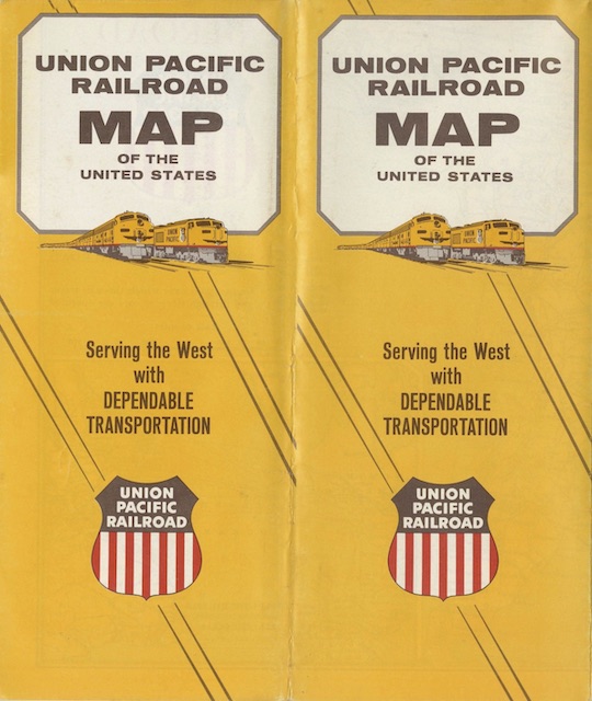 Click image to download a 10.6-MB PDF of this map.
The map itself is also passenger oriented, with the SP to Oakland, C&NW to Chicago, and Wabash to St. Louis all marked in a heavy red line with grey dashes to show they were “connections over which through trains and through sleeping cars are operated.” Union Pacific’s own routes are shown with a broad red line without the grey dashes. For some reason, Southern Pacific lines between Portland and Los Angeles receive the same treatment, but all other railroads are marked with a thin black line.