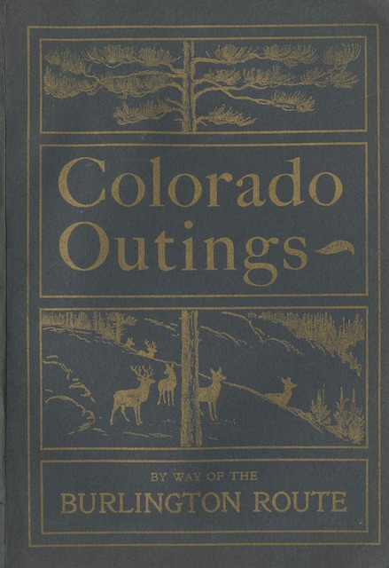
Issued by the Burlington Route in 1898, this booklet is in great shape for being more than 120 years old. It includes ten full-page photos and fourteen smaller photos or woodcuts. But most of it is text written by James Steele (1840-1905), a travel writer who also wrote a booklet about Colorado for the Rock Island and one about California for the Burlington, plus travel guides for Rand McNally.
 Click image to download a 15.7-MB PDF of this 54-page booklet.
A large fold-out map in the back shows all of the mountainous portions of Colorado with railroad lines. Grand Junction, Durango, the Black Canyon of the Gunnison, and Mesa Verde (shown as “Cliff Ruins”) are all displayed on the map. The text, however, barely penetrates the Front Range, focusing on Pikes Peak, Estes Park, the Georgetown Loop, and other sights a few miles or a few hours from Denver and Colorado Springs. Even the Royal Gorge is mentioned only in passing and not by that name. This could be because the Burlington wanted to promote the areas most accessible to its lines rather than (say) the Missouri Pacific, which connected with the Rio Grande’s Royal Gorge route at Pueblo.