Though issued just four years after yesteray’s brochure, the map on the back of this one has already undergone considerable evolution. Though still in the same cartoonish style, the image deletes the underlying relief map, instead just showing state boundaries. The result is much cleaner and individual sites such as cities and national parks are much easier to identify.
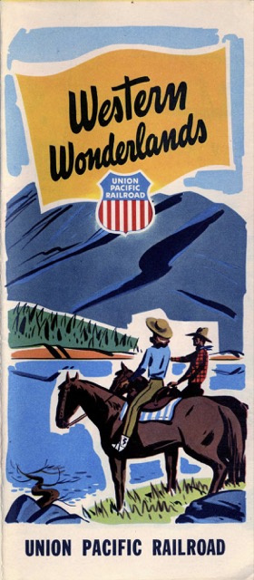 Click image to download a 6.8-MB PDF of this brochure.
The front of the brochure is also very different. Instead of devoting pages or half pages to individual destinations, this one has a page of one-paragraph descriptions of regions and parks reached by Union Pacific supported by two pages of black-and-white photos. Most of the rest describes the advantages of taking a train over other modes of travel.