
Most railroad maps like this have the map on one side and advertising on the other. NP instead printed an 8″x9″ cover and a 17″x31″ map that is folded and glued to the inside of the cover. Since the backs of the map and cover are both blank, they aren’t included in the PDF.
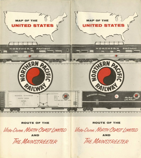 Click image to download a 5.7-MB PDF of this map.
The map, of course, highlights the Northern Pacific route in thick red lines and most other railroads in thin black lines. Curiously, the Spokane, Portland & Seattle is shown in red lines just like the NP routes. However, the Burlington Route is shown in brown lines that aren’t quite as thick as the NP red lines. NP owned 50 percent of the SP&S and 48.6 percent of the CB&Q (with GN owning equal amounts of both), so it is puzzling why the two were treated differently on this map.