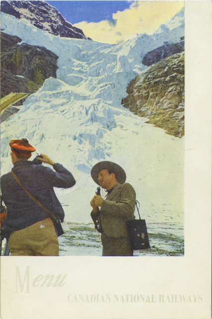
Shooting in Jasper 1949 Lunch Menu

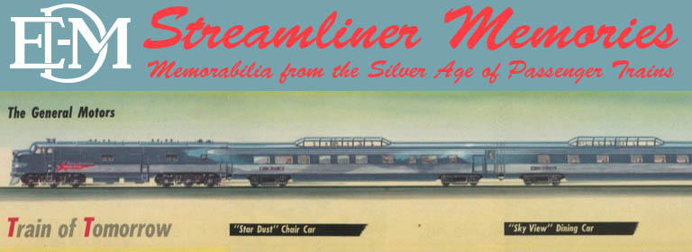
“Shooting” in this case means shooting photographs with a camera. The back cover of this menu explains that Jasper Park mountains, wildlife, rivers, and glaciers, such as the Angel Glacier on Mount Edith Cavell shown on the cover, are all worthy of photographs.

Click image to download a 1.1-MB PDF of this menu.

The front cover shot is perhaps unintentionally comical with the Scottish hat on the photographer contrasted with the Smokey Bear hat on the ranger. And what is in the ranger’s hand: a microphone? A musical instrument? Why are they both so contorted just to get a straight-up photograph of the glacier? Continue reading

Jasper National Park Pictorial Map

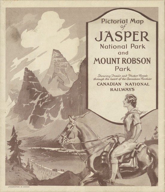
This map presents Jasper National Park in heavy relief, or what the Great Northern called an “aeroplane view.” Frankly, all of the mountain peaks look alike, making the map hard to read.

Click image to download an 7.1-MB PDF of this brochure.

The front of the map (from which the above cover is excerpted) is printed in sepia tone, but less than half the panels have any printing on them. As I’ve suggested before, this represents a huge missed opportunity to advertise CN trains, hotels, and/or Jasper Park services. Continue reading

Triangle Tour, Alaska & the Yukon Maps

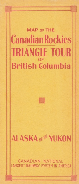
This brochure unfolds to present not one but two very large maps. On one side is a relief map of southern British Columbia and Alberta showing the “Triangle Tour”: CN train from Jasper to Prince Rupert, CN steamship from Prince Rupert to Vancouver, and CN train from Vancouver back to Jasper. On the other side is a map of British Columbia and southeast Alaska showing some of the same routes but also the steamship route to Skagway and White Pass & Yukon Route to Dawson.

Click image to download an 10.4-MB PDF of this brochure.

These maps are from the David Rumsey collection; I brightened them up a bit and turned them into a single PDF. Rumsey says one map is 43cmx76cm (17″x30″) and the other is 42cmx75cm. Both can’t be true but I laid them out to be about 17″x30″. Continue reading

Jasper Park Lodge in 1925

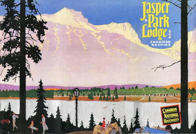
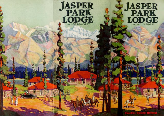
This booklet followed the same design as yesterday’s 1922 booklet: a front cover that covered only half of the width of the booklet and whose illustration wrapped around to a full-width back cover. Together, as shown in the image below, the covers form a beautiful picture of the lodge, the lake, the mountains, and recreational activities including golf, boating, horseback riding and motor touring. The lake is printed in a shiny silver ink or foil that unfortunately reproduces as gray in the scanned images.

Click image to download an 14.2-MB PDF of this 24-page booklet. Click here to download a full-sized PDF of the cover as shown above.

As I noted yesterday, a 1924 Jasper Park booklet also used this design. The interior pages of the 1922 booklet are printed only in black ink, while the 1924 booklet has green highlights and today’s has orange highlights. Other than the color of the highlights and a few photographs and some minor text changes, the 1924 and 1925 booklets are practically the same. Continue reading

Jasper Park Lodge in 1922

This booklet is unusual in that the front cover is only half the width of the interior pages while the cover illustration wraps around to a full-width back cover. We’ve previously seen a 1924 Jasper Park booklet that was also designed this way. Starting in 1926, however, CN adopted a more sensible design in which a nicely illustrated front cover covers the entire booklet.

Click image to download an 11.3-MB PDF of this 24-page booklet. Click here to download a full-sized PDF of the cover as shown above.

Although separated by just two years, today’s booklet and the one from 1924 differ in many ways. Both cover similar topics, of course, but not necessarily in the same order and generally with different text. Both present similar photos in collages, but the 1922 booklet has five to seven photos per collage while the 1924 booklet has just four to five. Both have centerfold maps, but the 1922 booklet has a key showing the location of 74 different lakes, peaks, and other features in the park. Continue reading

Western Pacific April 1955 Timetable

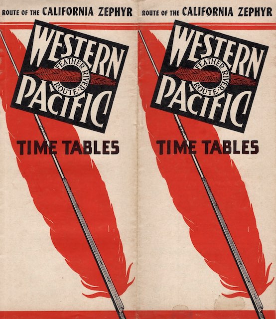
The map inside of this timetable folder has a thick red line showing the route of the California Zephyr from Oakland to Chicago. The same style of line shows Western Pacific branches to Bieber, Loyalton, Moy, and San Jose, California; Reno; and several small towns in Utah even though those branches did not have any passenger service. Plus the same red line is used to show the routes of the New York Central and Pennsylvania railroads between Chicago and New York City.

Click image to download a 4.3-MB PDF of this timetable from the Ellery Goode collection.

The lines to New York City are shown because one sleeping car went through from Oakland to New York every day, alternating on the Central and Pennsy routes. The timetable doesn’t say so, but when on the PRR the car went on the General eastbound and on the slightly slower Pennsylvania Limited westbound. On the New York Central it went on the Commodore Vanderbilt in both directions. Continue reading

Ranch Life in 1925

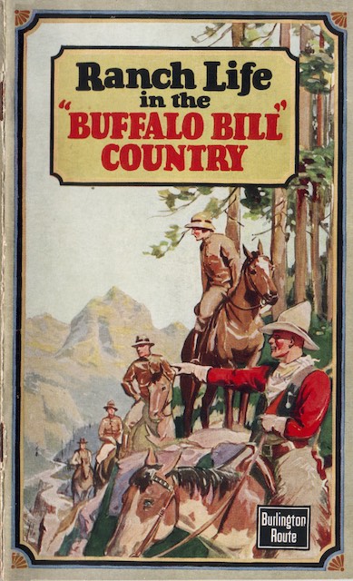
We’ve previously seen a 1932 booklet describing 23 dude ranches and lodges in “Buffalo Bill country,” meaning in and around Cody, Wyoming. This one is from 1925 and includes 15 dude ranches and lodges, 10 of which are also in the 1931 edition. Most of the ranches are either on the North or South forks of the Shoshone River but a few are in the northern part of the Shoshone National Forest near (or over) the Montana border.

Click image to download a 9.6-MB PDF of this 40-page booklet.

The five ranches that are in today’s booklet but not the 1932 edition were probably put out of business by the Depression. Several ranches that managed to survive until 1932 didn’t make it much longer. At least four of the ranches or lodges described in this booklet still survive today: Pahaska Tepee, which was built by Buffalo Bill Cody in 1905; Absaroka Lodge, which was listed as LV Mountain Ranch in the 1931 booklet but is known as Absaroka Mountain Lodge today; Blackwater Creek Ranch, which was listed as Blackwater Lodge in the 1925 booklet; and Crossed Sabres Ranch, which was known as Holm Lodge in the booklet. All of these are on the North Fork of the Shoshoni, often called Wapiti Valley, which is the main entry into Yellowstone from Cody. Continue reading

Southern Pacific April 1954 Timetable

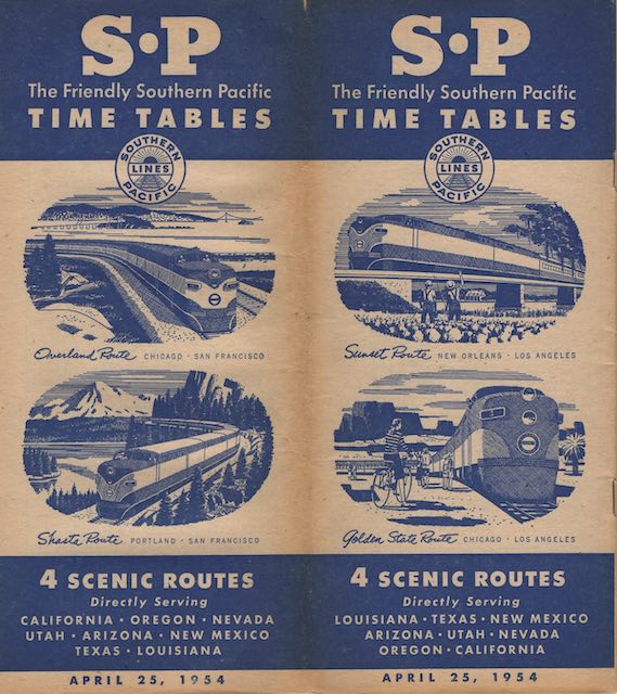
Today’s 48-page timetable (which puts the cover shown below on the back) has a front-page ad proclaiming “faster streamliner schedules Chicago-California.” The Golden State, it says, was an hour and 50 minutes faster eastbound and an hour faster westbound. The San Francisco Overland was an hour faster in both directions.

Click image to download a 33.6-MB PDF of this timetable from the Ellery Goode collection.

As I read the timetable, the Golden State took 41-1/4 hours to get from Chicago to Los Angeles. That was only 1-1/2 hours slower than the Super Chief or City of Los Angeles. Despite the speed-up, the eastbound time was still nearly 42-1/2 hours, or 2-3/4 hours slower than the competition. Continue reading

Rock Island November 1956 Timetable

In another decade or so, the Rock Island would become known as “one railroad too many” as it was competing against the Burlington, Milwaukee, and North Western. But in the 1950s it was still making profits and was pleased to advertise everything from the Golden State to the Jet Rocket in this timetable.

Click image to download a 23.9-MB PDF of this timetable from the Ellery Goode collection.

In between were the the Corn Belt Rocket, the Kansas City Rocket, Rocky Mountain Rocket, Twin Star Rocket, and Zephyr Rocket. The extra fare Golden State was paired with the secondary Imperial.

The timetable contains a few disturbing signs of decline. The westbound Cherokee, which was once a Memphis connection to California, required a 3-1/4-hour layover in Tucumcari waiting for the Imperial. The secondary train on the Memphis route, the Choctaw Rocket, was a rail Diesel car that traveled an uncomfortable 762 miles before petering out in Amarillo.

In Rock Island’s defense, problems on the Golden State route may have been more the fault of Southern Pacific than Rock Island. SP’s decision to cancel the Golden State Rocket (which was probably provoked by proposed federal speed limits) left the trains on that route uncompetitive with Santa Fe and Union Pacific limiteds.

In addition to Chicago commuter trains, Rock Island still had plenty of unnamed trains connecting such cities as Eldon and Kansas City, Omaha and Goodland, Kansas City and Belleville, and Chicago and Des Moines. All these trains meant that this 36-page timetable had lots of schedules and very little fluff.
The Kingdom of the Sun in 1953

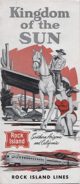
The Santa Fe called the Phoenix area the Valley of the Sun in this 1950 booklet. Rock Island responded with this Kingdom of the Sun booklet in 1953, though Rock Island’s term extended to the entire Southwest region from El Paso to southern California.

Click image to download an 10.4-MB PDF of this 24-page booklet.

In the 1950s, trains on the Golden State route were not up to the standards of the City of Los Angeles or the Super Chief. The one advantage the Golden State route had was that it served Phoenix, while Santa Fe passengers had to change trains to get to Phoenix and Union Pacific didn’t come close. So it is a little bit of a surprise that this booklet doesn’t focus on Phoenix, but perhaps Rock Island had another brochure for that. Continue reading