One side of this 18″x32″ map has nearly two dozen photos of Union Pacific passenger trains and places they go. The other side has a map of the United States (the southern tips of Texas and Florida are left off) with UP rail lines in bright red, partner roads (C&NW, SP) in red-and-black, and other railroads in black.
Click image to download an 11.7-MB PDF of this map.
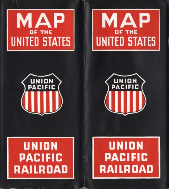
In the immediate post-war period, railroads were still showing off their mighty steam locomotives. This brochure is no exception, with photos of the Big Boy and an 800-series Northern. There’s also a photo of a pair of General Motors E-6 locomotives that appear to be numbered 7M-1 and 7M-2. UP had exclusive ownership (as opposed to co-ownership with C&NW/SP) of three pairs of these locomotives, numbers 7M-1 & -2, 8M-1 & -2, and 9M-1 & -2.
Click image for a much larger view.
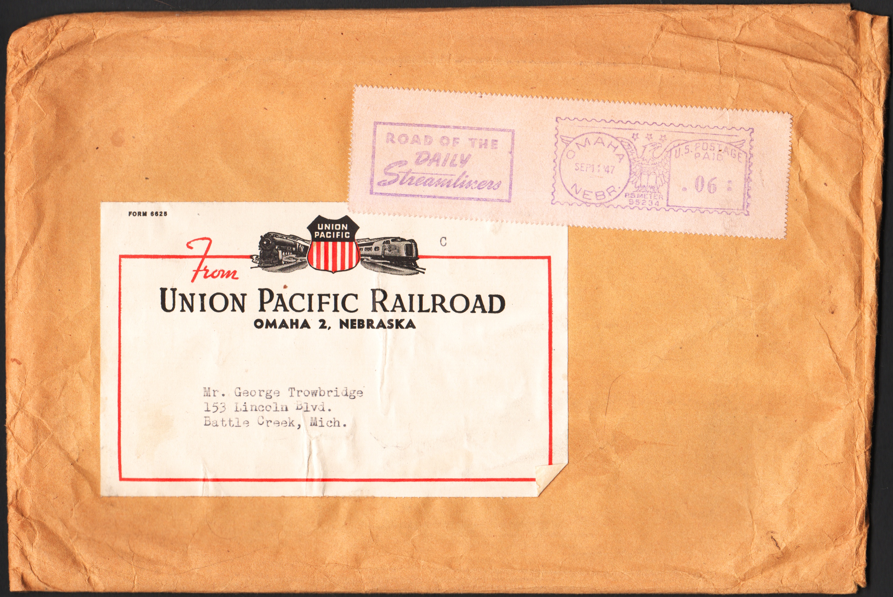
Back in 1947, someone named George Trowbridge asked Union Pacific for information on its passenger trains. On September 11 of that year, UP sent this map and two other items, which I’ll post in the next two days, to George’s home in Battle Creek, Michigan. Census records indicate a George Trowbridge living in Battle Creek who would have been 14 years old in 1947. A Facebook page says George Trowbridge, formerly of Battle Creek, is now retired and living in Grand Rapids. These are presumably all the same person.