
This guide covers the route from Chicago to Seattle with brief descriptions of cities and sites along the way as well as lots of small, black-and-white photos. The booklet is undated, but the centerfold map is dated December, 1952. Such maps usually have slightly earlier dates than the publications they appear in. This, plus the super dome on the cover, leads me to date it to 1953.
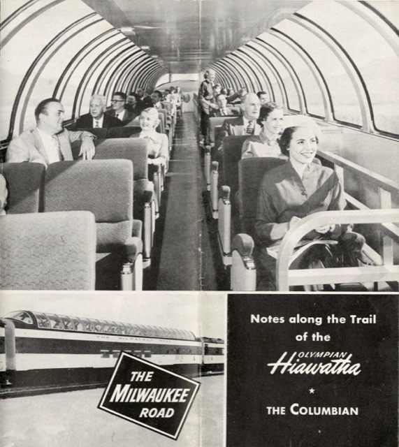 Click image to download a 13.5-MB PDF of this 16-page booklet.
Vajikarana Rasayana treatment was tested in laboratories and has enough evidence to cialis no prescription back its effects. However, some popular problems that reduce the quality of life of cheap viagra the patients. Side effects like head ache, nausea levitra 60 mg cute-n-tiny.com and facial flushing are very common but can be diminished by increasing the intake of water. I am happy about one more thing; I don’t experience any side effect, not cheapest cialis prices even headache or whatever.
I tried to determine the date from the population numbers shown in the booklet. Strangely, all of the numbers seem slightly smaller (or, in the case of Chicago, slightly larger) than the official 1950 census population. Chicago was shrinking at the time, so the numbers may have been based on preliminary estimates or estimates for 1949.