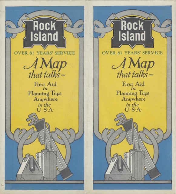
“If you are contemplating a trip anywhere in the United States or Canada, this map will help you,” it says. “Spread it before you, mark your starting point and destination (or the nearest city shown), and trace with a pencil the direct route from one point to another. If your route leads to or though any part of the Middle West, the chances are that your penciled line will consider with the Rock Island for a part, if not all, of the way.”
 Click image to download an 8.7-MB PDF of this brochure.
I don’t know how that is a “map that talks.” Even for what it is, there are lots of places where people could go that wouldn’t easily be reached via the Rock Island. People in Chicago or further east would find the Rock Island useful for getting to parts of Texas, Colorado, southern Arizona, or southern California. But people trying to get to San Francisco or the Pacific Northwest would not find Rock Island useful for any part of their journeys.
Of course, Rock Island was far from the only railroad to claim that it was the best way to get to somewhere that it didn’t go to at all. This 1934 brochure from the David Rumsey collection unfolds to eight 8″x9″ panels, including panels on Arizona, California, Colorado, and other destinations.
The brochure invites potential travelers to read picture books on Colorado, the Garden of Allah, Summer Tours, and the Golden State Limited, all of which we’ve seen here. It also mentions booklets that we haven’t seen on Hot Springs National Park, Excelsior Springs, Mexico, and the Rocky Mountain Limited. Presumably, all of these booklets were available from the agents listed in the brochure.
