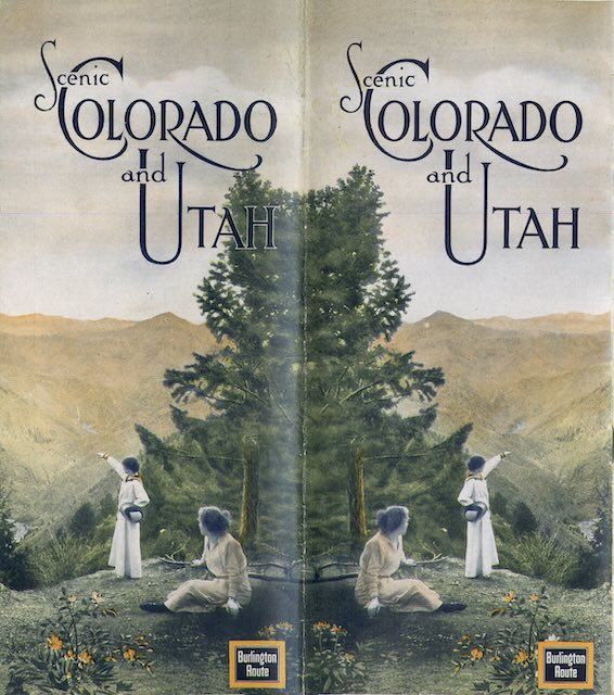
We’ve previously seen Burlington booklets about Colorado and Utah from 1922 and 1926. This one is from 1916. Although the cover below (which is the back cover) gives equal billing to Colorado and Utah, it devotes 17 pages exclusively to the former and only three to the latter.
 Click image to download a 25.0-MB PDF of this 28-page booklet.
A lot happened between 1916 and 1922, so it is not surprising that the text had been almost completely rewritten and only a few of the 28 photographs in this booklet were also in the 1922 edition. A subhead proclaiming Colorado’s “mountains – glories – supremacy” had been retained but the subhead describing Utah as “the promised land” in 1916 became “the land of surprises” in 1922.
The centerfold map was also completely reworked. The 1922 map shows rail lines in Colorado and Utah but does not specify their ownership. The 1916 map clearly showed that Burlington and its subsidiary, the Colorado and Southern, reached deep into Colorado, providing access to Greeley, Fort Collins, Boulder, Georgetown, Leadville, and Gunnison, among many other places, and also came pretty close to Rocky Mountain National Park. The competing C&S and Rio Grande lines between Denver and Trinidad had not yet been rationalized by the U.S. Railroad Administration and are clearly shown on the map.
Despite the map showing C&S lines separate from Rio Grande lines, the booklet’s text doesn’t show any preference for C&S trains over Rio Grande trains. The Colorado section of the booklet has just one photo of a C&S train and five of Rio Grande trains or tracks.
One little-known railroad mentioned, but not photographed, in the booklet is the Argentine & Gray’s Peak Railway, which took people from the end of the C&S Georgetown Loop line to the summit of 13,587-foot Mount McClellan, the highest elevation reached by any conventional railroad in the United States.
