
This booklet should really be called “Western Oregon Outdoors,” as it focuses on those parts of Oregon that can be seen in a short drive from Southern Pacific tracks. It even opens by describing Oregon as “a land of forest covered mountain ranges,” which ignores the high desert and near-desert conditions found in much of eastern, and particularly southeastern, Oregon.
 Click image to download a 26.0-MB PDF of this 16-page booklet, which is from the David Rumsey map collection.
While the deserts can be beautiful, the original settlers were attracted to the green valleys and later tours to the high mountains and ocean beaches, all of which are found in western Oregon. Given the relatively primitive highways of the 1920s, anything too far from the railroads were still pretty hard to reach.
Referring to the “many and beautiful” lakes in Oregon’s Cascade mountains, the booklet says that, “The larger are Crescent, Odell, Diamond, Crater, Davis, Waldo and Summit.” Except for Summit Lake, all can be reached by paved road today, but the road to Summit is still so bad that some people end up abandoning their vehicles before they reach the lake. Crescent and Odell lakes are on the SP main line, but I imagine the 1927 roads to some of the other lakes on this list were not much better than the road to Summit Lake is today.
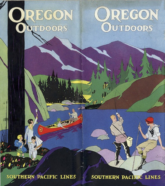
The colorful cover shown above is the back cover, as was typical of many railroad booklets of the time. It is signed “F. Clark,” but I haven’t been able to find any record of an artist or illustrator by this name.