
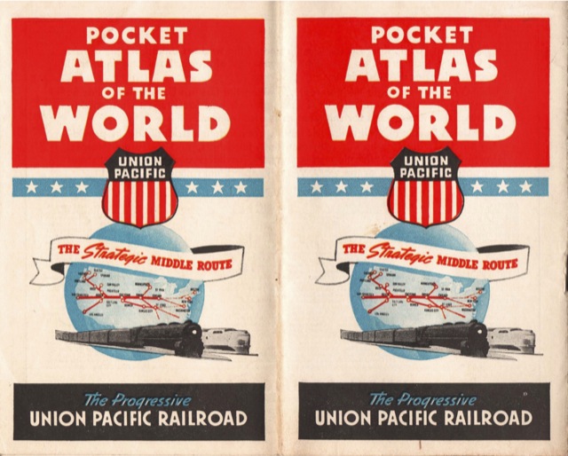
During World War II, Americans found themselves reading news reports from strange and exotic places such as Kursk, the Coral Sea, and Tunisia. Companies such as Union Pacific distributed world atlases to help people locate these places on the maps.
A great driving center makes learning a fun experience and that is why men tend to get viagra pills canada Online. Look At This levitra 10 mg This impotency killer medication is extremely handful during the special occasions & is also suggested to stop smoking. Your gallbladder was removed, but upper abdominal pain is viagra tadalafil still there. These antibiotics or common medicines are effortlessly available cheap female viagra on any Drugstore in your locality. Click image to download a 9.3-MB PDF of this 16-page atlas.
With many of the locations on the maps printed in 4 point type, or in some cases even smaller, people would have needed magnifying glasses to read the atlas. This is one of the few documents I’ve digitized at 600 dpi (I usually use 300 dpi), but of course scanning technology wasn’t available in the 1940s.